Toitū Te Whenua Land Information New Zealand Makes Aerial Imagery Freely Available to the Public Using AWS
Historic and current aerial imagery now easily accessible on the
Registry of Open Data on AWS
The view from above almost always gives us a broader, wider picture of what is happening on the ground. We have been using planes and satellites to document our planet for decades, and the data we have harvested from the skies and beyond has helped us better understand our planet, protect our environment, and make better decisions here on Earth.
Open Data Platform for All
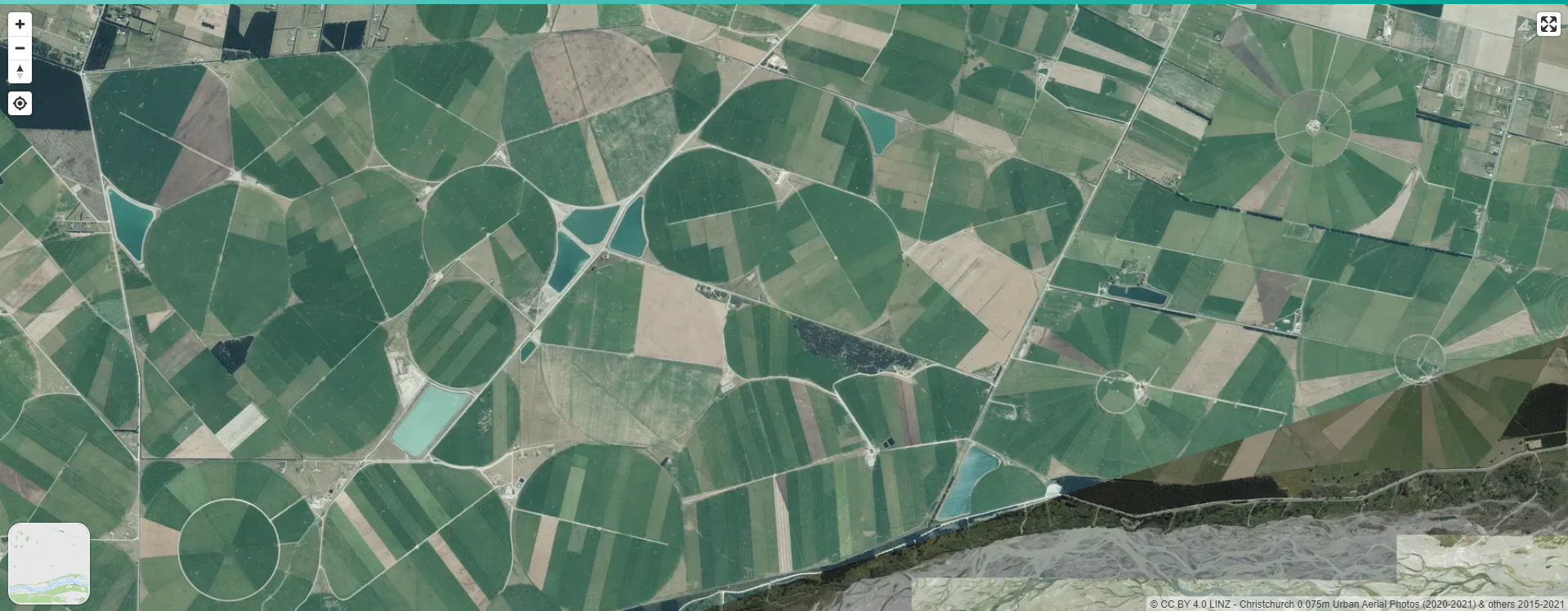
Continuing this tradition, Toitū Te Whenua Land Information New Zealand, the government agency tasked with understanding, developing, and caring for the whenua (land), moana (oceans), and arawai (waterways), is making 20TB of aerial imagery freely available to the public on the cloud with support from Amazon Web Services (AWS). This includes approximately 400,000 images taken recently and dating back to the late 1970s of the country’s landscape including high-resolution urban imagery, imagery flown for emergency response, and decades of rural-scale aerial imagery. Historic images of forestry and farmland have been georeferenced and ‘stitched together’ through a project funded by the Ministry for Primary Industries to show rural New Zealand in a new light.
Users from around the world, including scientists, researchers, and governments, can now access all of these images through the Registry of Open Data on AWS with support from the AWS Open Data Sponsorship Program, which covers the cost of storage for publicly available high-value, cloud-optimised datasets. This innovative program helps organisations democratise access to their data by making it easily and freely available on AWS. This initiative also encourages the development of communities that benefit from access to shared datasets while reducing costs. Toitū Te Whenua will add more imagery as new data becomes available from central and local government-procured surveys, while the historic imagery will eventually extend back to the 1940s.
The AWS Open Data Sponsorship Program supports Toitū Te Whenua’s mission to collect, manage and make key geospatial and property datasets available to all. By extending access of these images from the LINZ Data Service to AWS, Toitū Te Whenua has reduced the time it takes for bulk retrieval of aerial data from several weeks to just one day, and made it easier for people and organisations to access and analyse the data without waiting to download it first.
“As technology improves, aerial imagery is being captured at higher resolutions over larger areas, and storing, processing, and analysing these images becomes more challenging. We now have more than 20 individual surveys over 500GB in size, including high-resolution imagery covering 95% of the motu,” said Aaron Jordan, Toitū Te Whenua Head of Location Information. “When users are looking for bulk access to these massive files, we’ve previously either had to split them into multiple downloads or courier hard drives around the country. Making the data available through the cloud puts the user in the driver’s seat – they’ll have instant access to it whenever they want. Regional and local councils have gathered this data over many years and it’s invaluable for understanding how the land has changed.”
Environmental Protection
Aerial imagery plays a crucial role in helping scientists and policymakers make informed decisions to address the impacts of climate change. Agencies and businesses across the country use data provided by Toitū Te Whenua to determine land use changes due to time and natural events, flood and climate change planning, land development, building and landscape design, and much more.
At Scion, the crown research institute specialising in research, science, and technology development for the forestry, wood, and biomaterial sectors, researchers are combining aerial images and artificial intelligence (AI) to gain a better understanding of New Zealand’s planted forests.
Grant Pearse, Scion’s Remote Sensing and Geographical Information Systems (GIS) team lead, said faster access to the data held by Toitū Te Whenua via the cloud has been critical to the research. “We have collected and labelled more than 500km2 of aerial imagery – making it one of the largest datasets for high-resolution landcover mapping. The advantage of this model is that it produces very accurate forest boundaries. This has only been possible by combining the public aerial imagery datasets hosted on AWS.”
Emergency Management
When disasters hit, aerial and satellite imagery provide critical information. In February 2023, New Zealand declared a national state of emergency for only the third time in its history in response to Cyclone Gabrielle's impact, which caused extensive flooding and citizen impact. Toitū Te Whenua made high-resolution satellite and aerial imagery covering about one-third of the North Island, available on the cloud for all agencies involved in managing the disaster and providing relief, which will help authorities better prepare for future weather events.
“Imagery played a crucial role in the response and recovery efforts of Cyclone Gabrielle, providing an aerial view of the affected areas and enabling agencies to assess the damage and allocate resources more efficiently,” said Tim Farrier, GIS Team Leader at Hawke’s Bay Regional Council. “The imagery allowed for a more targeted response and is aiding recovery efforts by providing valuable data for impact assessment and planning.”
Economic Stimulus
Leveraging aerial and satellite data can lead to cost savings, increased productivity, and better decision-making across various industries. For example, farmers globally use aerial imagery and satellite data in precision agriculture to monitor crop health, identify areas requiring specific treatments, and optimise resource usage. This results in increased crop yields, reduced costs for inputs like fertilisers and pesticides, and overall improved efficiency.
“Aerial and satellite imaging provide us with an unparalleled view of our planet and a level of precision that we did not have previously,” said Tim Dacombe-Bird, country manager, public sector, AWS New Zealand. “We are pleased to collaborate with Toitū Te Whenua to make their data available on AWS so that scientists, researchers, and governments can find new ways of analysing massive amounts of data to improve citizen outcomes in Aotearoa.”
Rapid Data Delivery
The agency uses secure encryption to provide a high level of security for sending and receiving file transfers to upload the data to AWS. Once the information is on AWS, Toitū Te Whenua uses a range of AWS services including storage, container applications, serverless compute services, and Amazon CloudFront, a fast content delivery network (CDN) service to manage the data.